
Drone Deer Surveys & LiDAR Mapping — Alabama, Mississippi, Arkansas, Georgia, Tennessee
Plenty of people fly drones.
NONE operate at this level.
Drone Deer Surveys with THERMAL cameras, flown with up to eight drones and multiple pilots at once — unrivaled by anyone else. Drone LiDAR & Mapping that gives your engineer real data to work from. Our pilots, our drones, our processing. Based in Tuscaloosa, working across Alabama, Mississippi, Arkansas, Georgia and Tennessee — We travel!


Additional Services Offered
The same aircraft and the same data, pointed at three other problems.
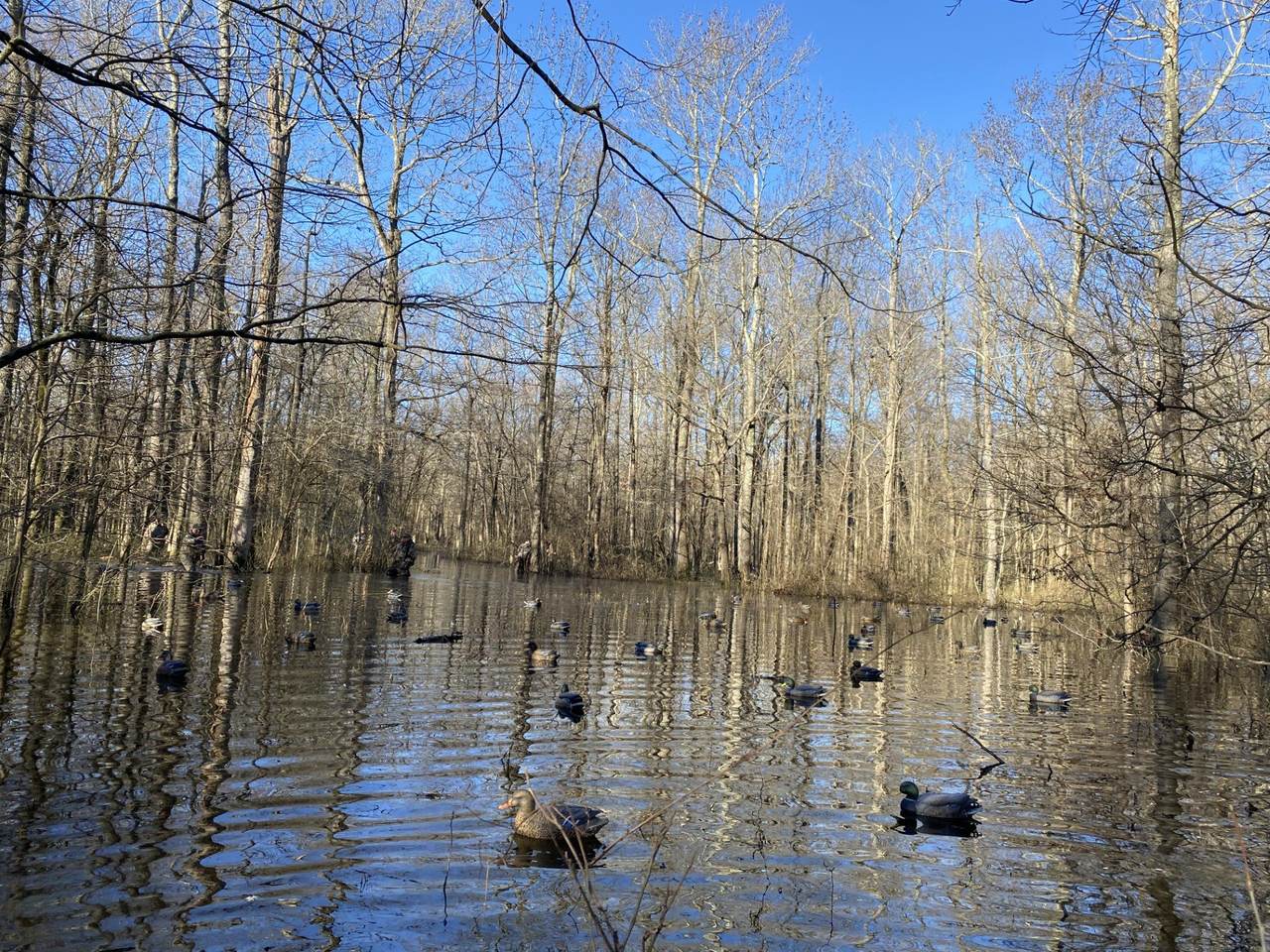
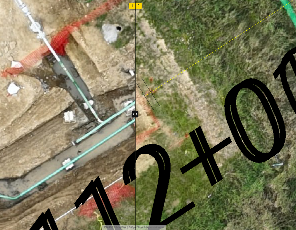
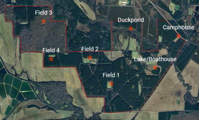
Watch your own property get surveyed, live.
A 24-foot enclosed trailer with 50-inch monitors mounted down the side. Every drone controller feeds a screen, so you can stand there and watch the thermal footage as the deer are found and photographed. Everything else we need lives inside it — the whole d.fleet, the mapping gear, and a UTV for mobile access.
See the trailer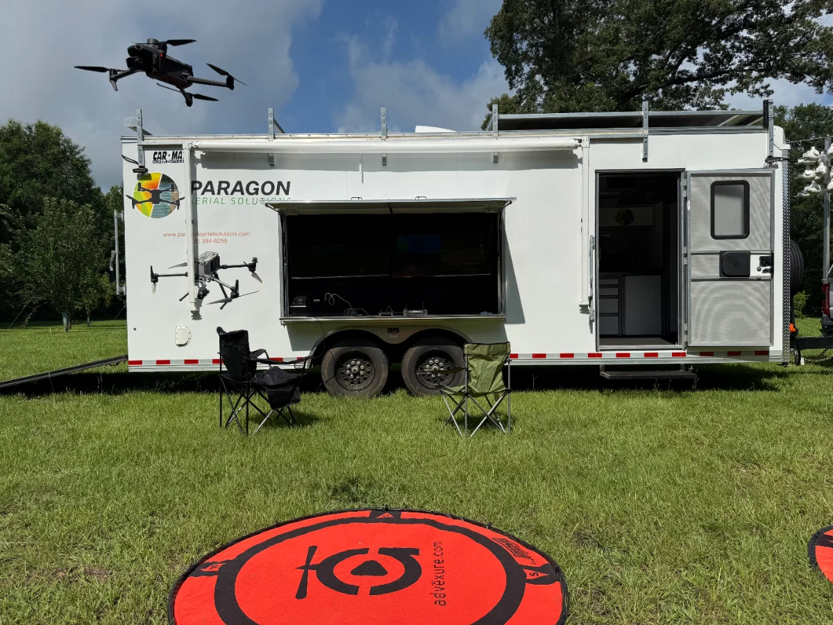
By the numbers
Ready to get on the schedule?
Tell us what you want flown and we will send you a quote and schedule a date. Deer survey season books up fast — most clients lock in before October.
Your property boundary. An OnX share link is easiest — a KML, shapefile or a marked-up map works too. We preload that boundary into every controller before we roll out, so nothing gets flown twice and nothing gets missed.